
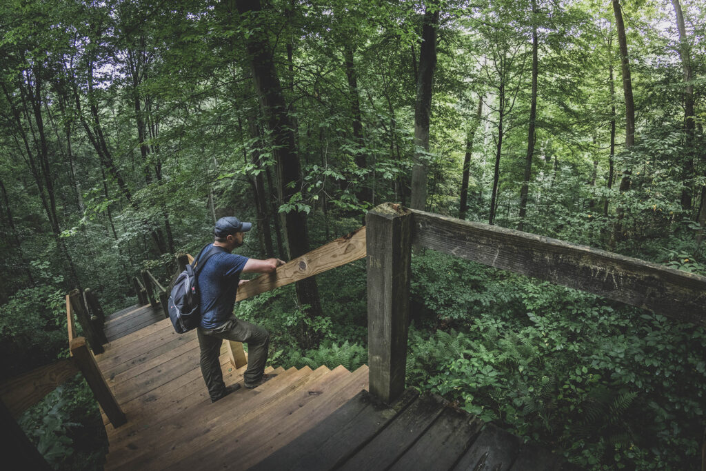
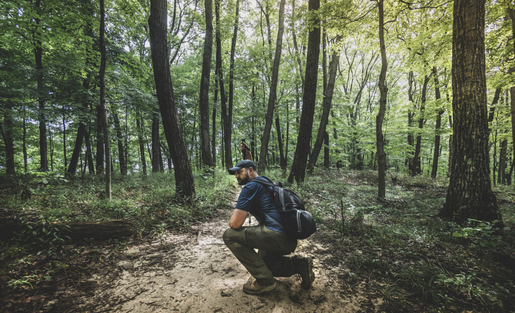
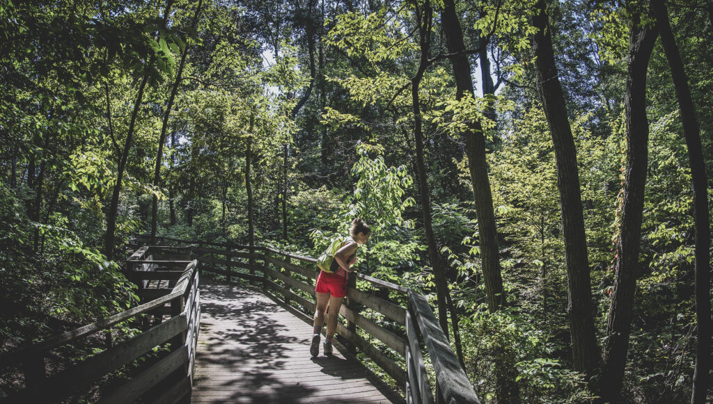
We’ve compiled the ultimate hiking guide for Brown County State Park in Indiana, complete with interactive maps, detailed trail reports and helpful photos. With 21 miles of dedicated hiking trails and 37 miles of multi-use trails, the biggest state park in Indiana is a Midwest hiker’s dream.
Have you been to Brown County State Park? Don’t forget to rate the trails by clicking on the stars!
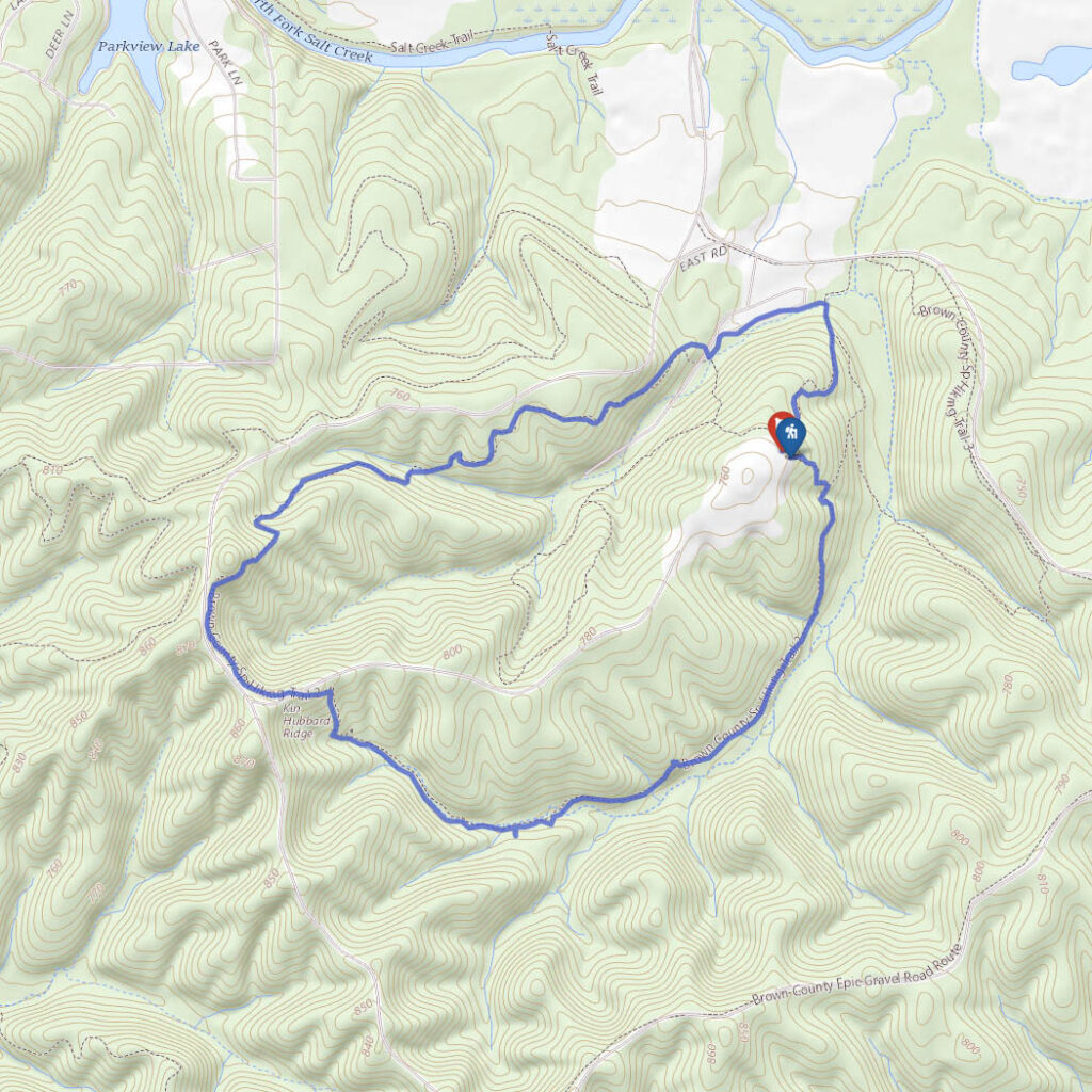
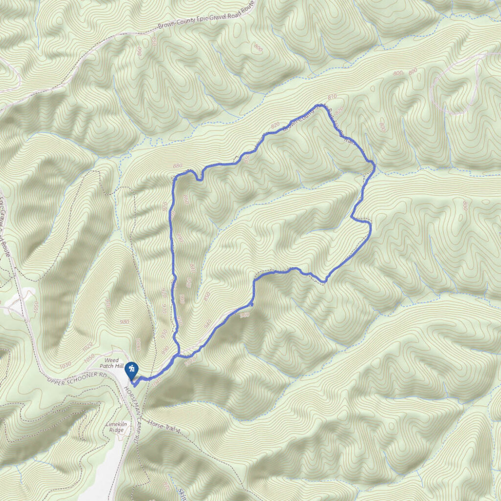
Aynes Loop
Difficulty
Easy
Hiking Time
2 hours
Total Distance
4.5 miles
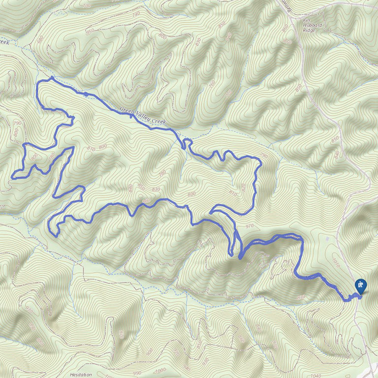
Think you’ve seen everything at Brown County State Park in Indiana? This multi-use trail is often overlooked by hikers, which is just fine by the mountain bikers who flock to the park.
Hit the trail early on a weekday and you just might have the whole thing to yourself.
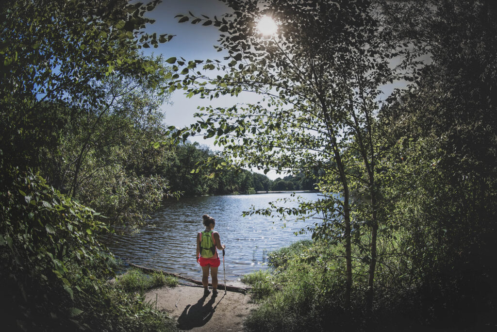
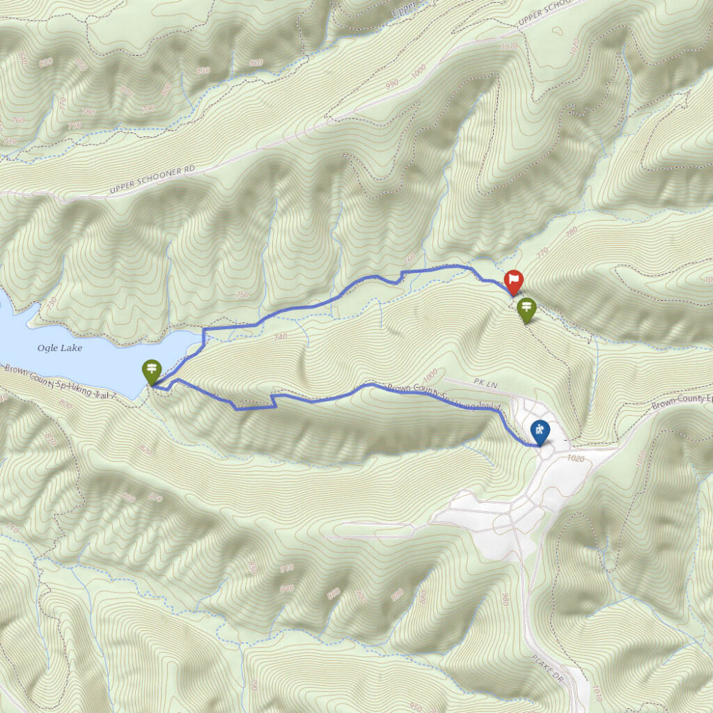
Trail 7, Ogle Lake
Difficulty
Easy
Hiking Time
45 min
Total Distance
1.5 miles
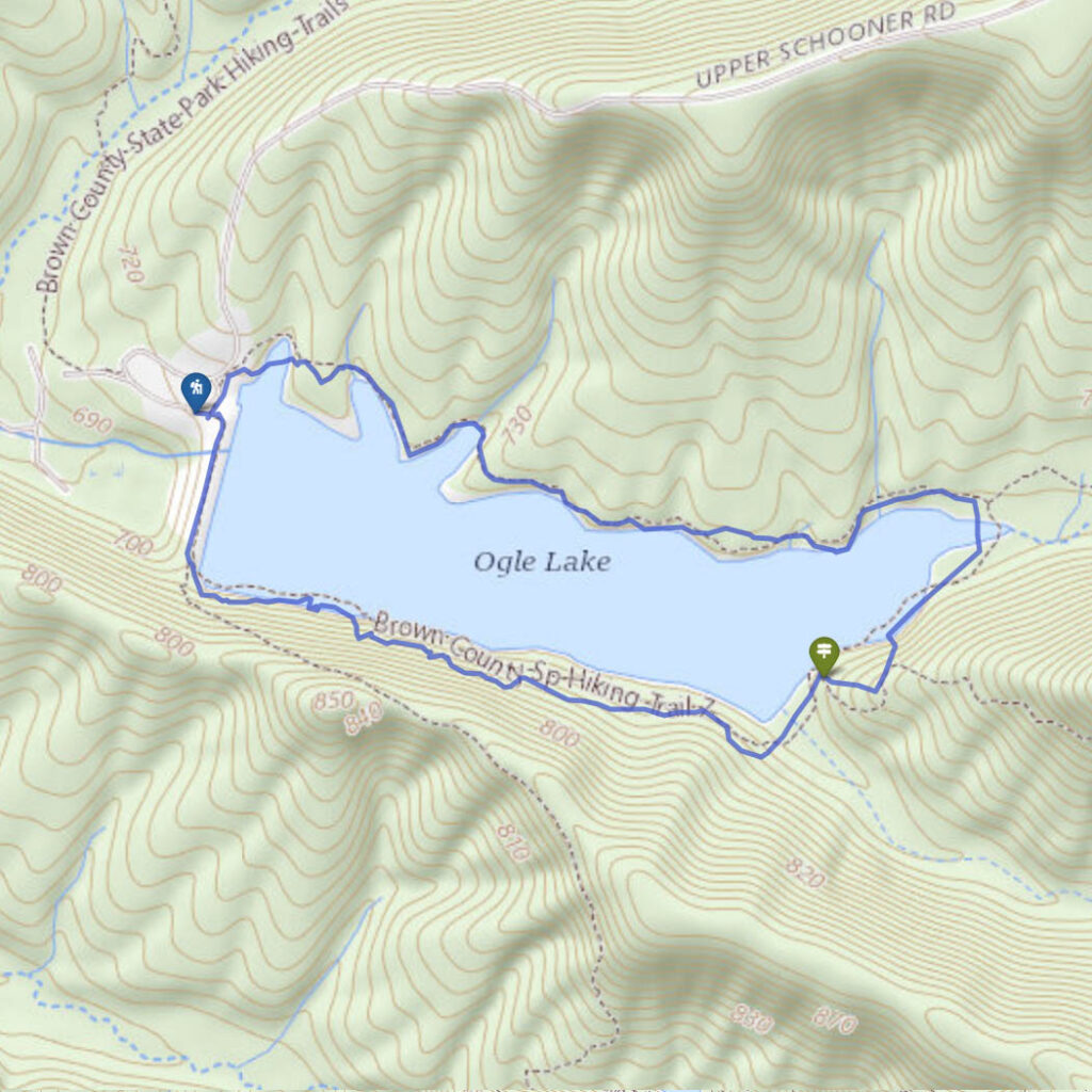
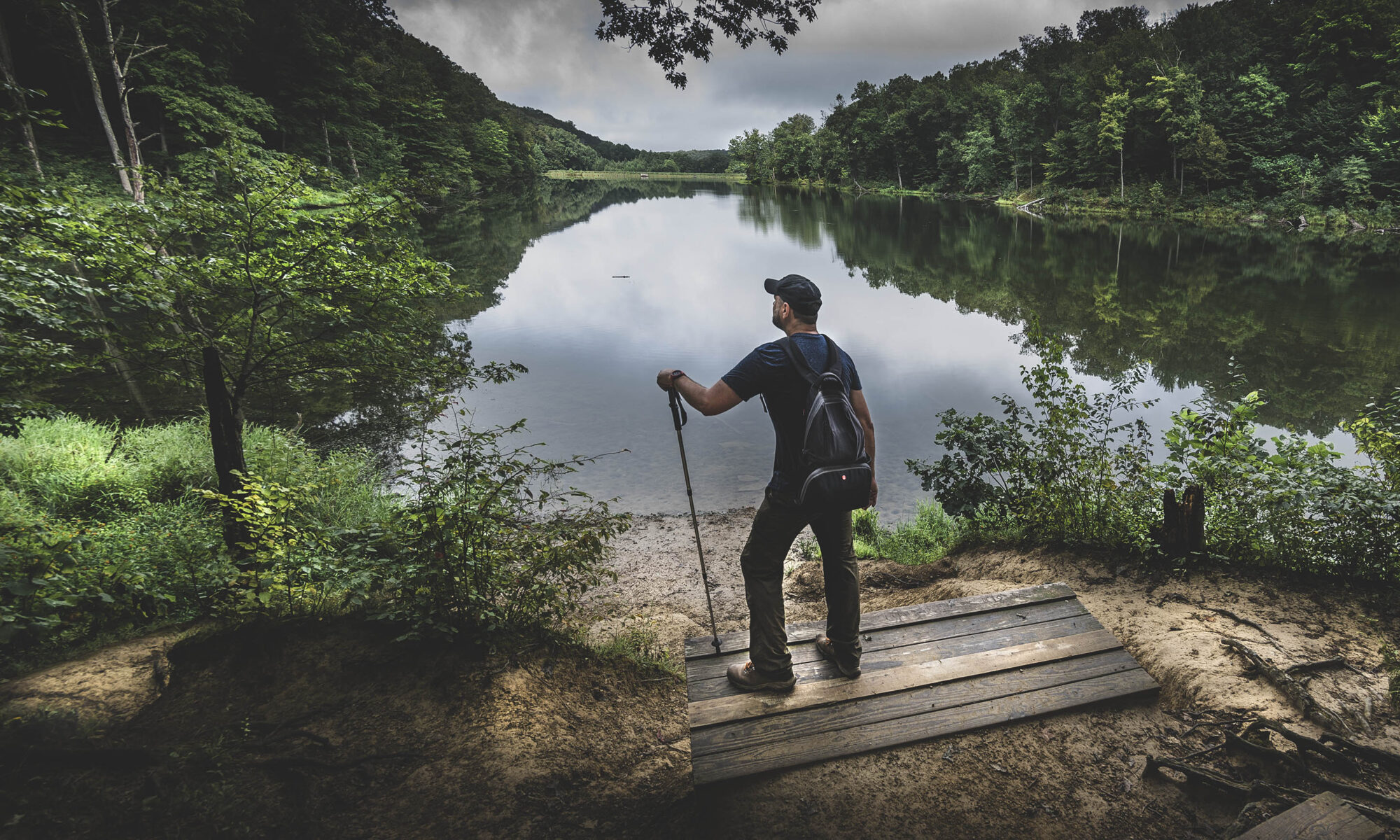
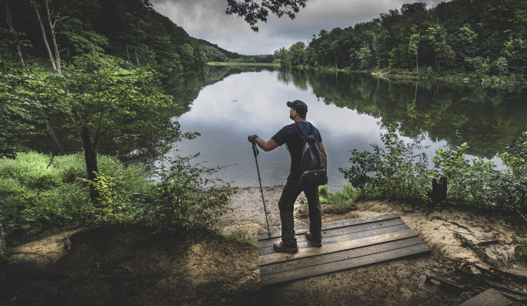
The Trail 7 loop around Ogle Lake at Brown County State Park is a leisurely one and a half mile hike featuring a serene setting nestled among the hills of southern Indiana.
This hiking trail is about as straightforward as you can get with beautiful Lake Ogle in full view at all times. It’s a great place for a bit of exercise or a hike with the kids.
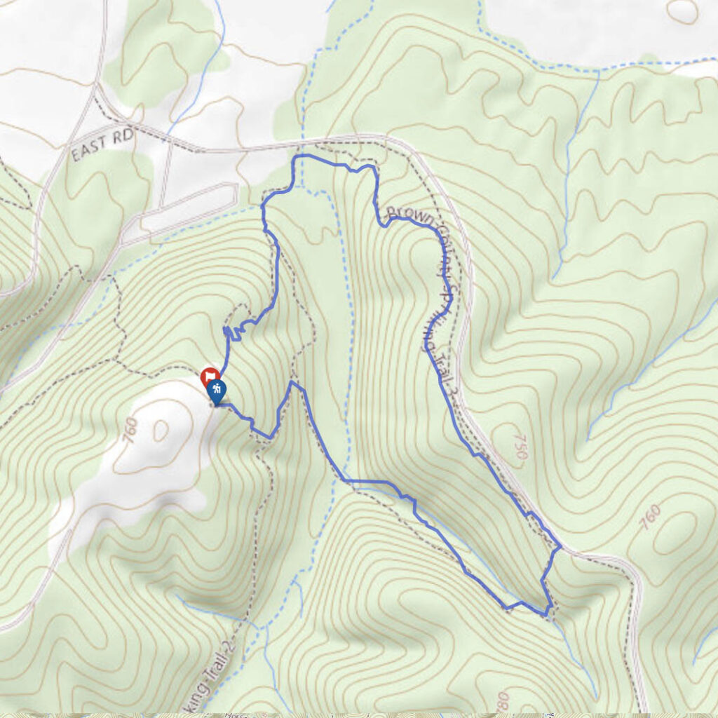
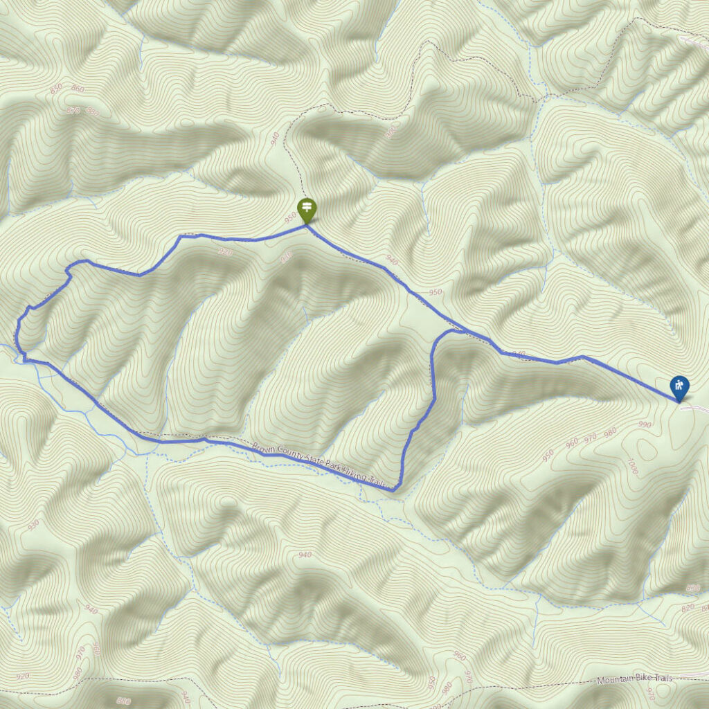
Trail 8, HHC Trail
Difficulty
Easy
Hiking Time
2 hours
Total Distance
4.5 miles
This four-and-a-half-mile trek of solitude through the southern Indiana wilderness is the perfect low-key affair for recharging your batteries.
Here you’ll hike to Hesitation Point and the West Lookout Tower – two of the best views in all of Brown County State Park.
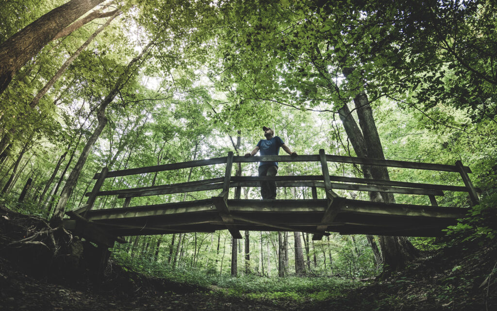
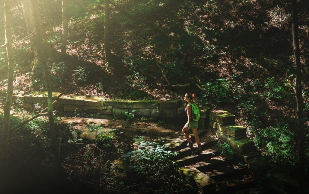
Trail 2, CCC Trail
Difficulty
Easy
Hiking Time
2 hours
Total Distance
2.4 miles
Trail 2 at Brown County State Park is one of the most popular hiking destinations on the grounds, passing beautiful family cabins, the North Lookout Tower and the rustic Lower Shelter.
With its quaint stone bridges, retaining walls and stairways, this trail serves as the perfect introduction to Indiana’s largest state park.
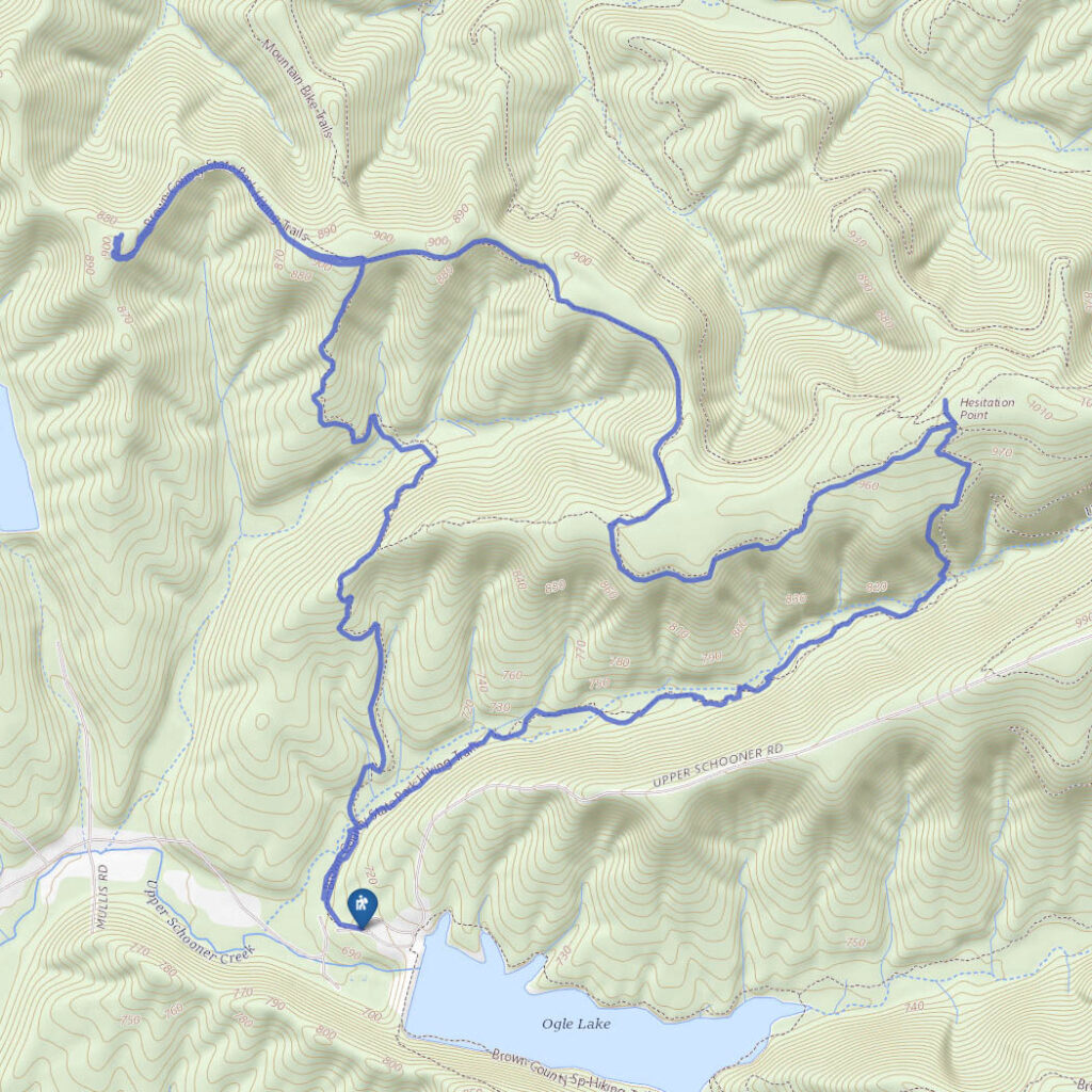
Trail 11, Vollmer Trail
Difficulty
Easy
Hiking Time
2-3 hours
Total Distance
2.7 miles one way
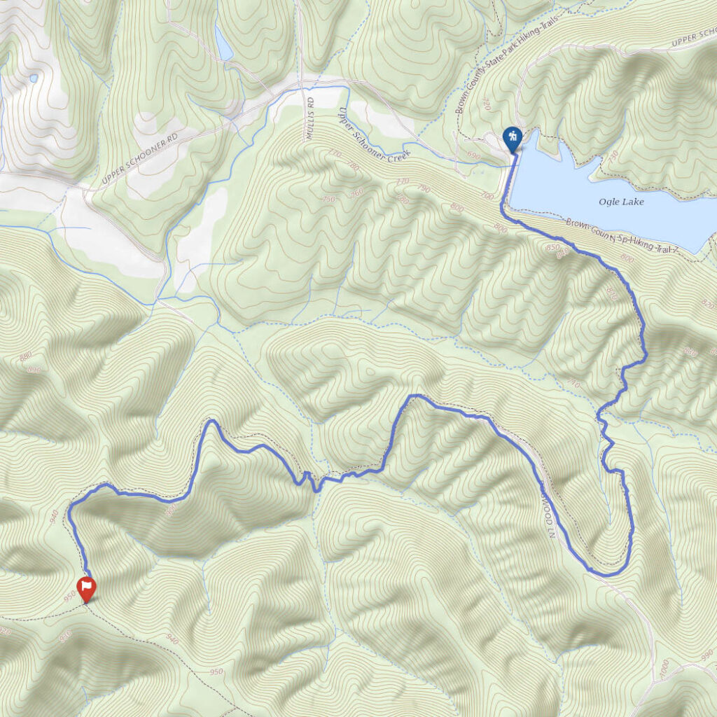
Formerly known simply as the Trail 9 extension, Trail 11 (a.k.a. Vollmer Trail) ascends quickly from the Ogle Lake valley to the Knobstone Escarpment and leads deep into the western section of the park.
Out here you’ll be lucky (or unlucky depending on opinion) to see another soul.
Trail 6, Strahl Lake
Difficulty
Easy
Hiking Time
1 hour
Total Distance
2 miles
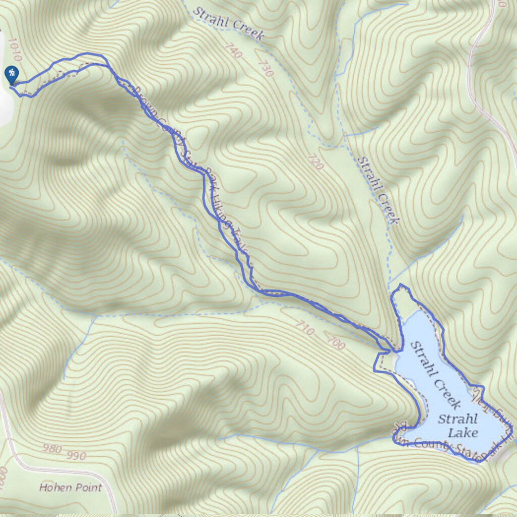
There are two ways to do this hike, but since you’re reading a hiking blog, you’re probably not the type of person who is going to go the easy route.
Being in a more remote section of the park, this area sees less traffic than the larger Ogle Lake, and at 7 acres it is less than half the size.
Trail D, Co-op
Difficulty
Moderate
Hiking Time
3 hours
Total Distance
6.75 miles
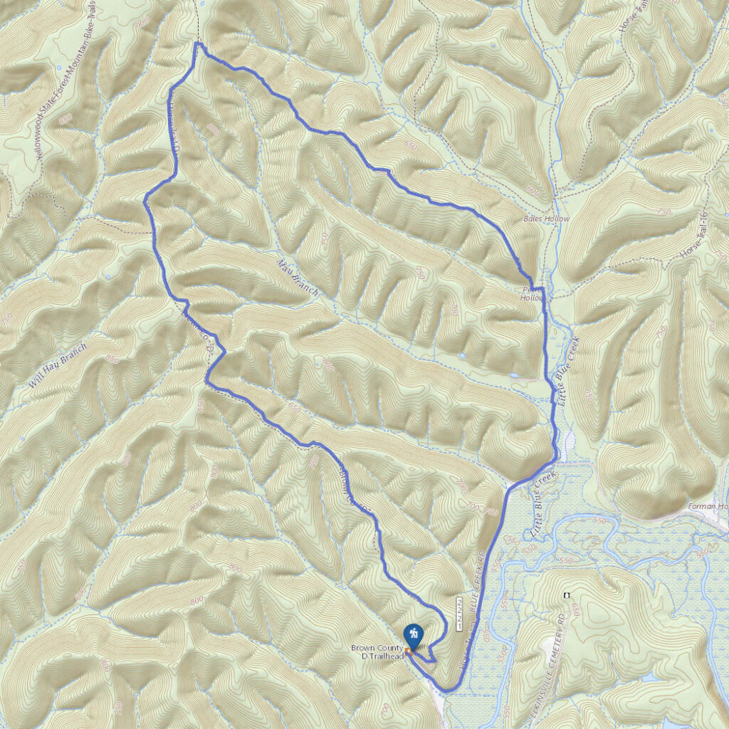
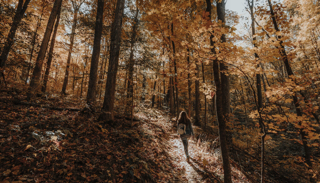
In the fall, Brown County State Park is inundated with leaf peepers who snarl traffic bumper-to-bumper from Nashville to Gnaw Bone and beyond.
At Trail D on the far southwest corner of the park, you’ll avoid it all and find the hiking escape you’re looking for. In fact, you probably won’t see another soul.
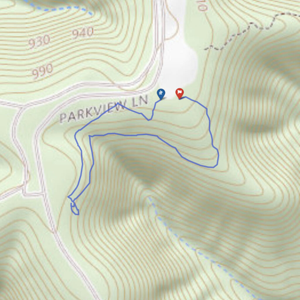
Trail 3, Saddle Barn Loop
Difficulty
Easy
Hiking Time
1 hour
Total Distance
1.25 miles
Trail 3 is a popular and easy 1.25 mile loop through the northern section of Brown County State Park that holds a couple of interesting surprises.
When paired with the 2-mile-long Trail 2, this hiking trail makes for a perfect day hike through the enchanting forest of south central Indiana.
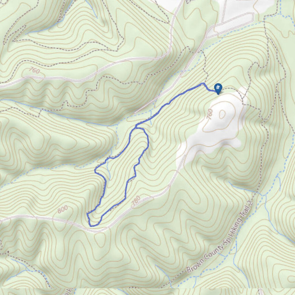
Trail 5, Ogle Hollow
Difficulty
Easy
Hiking Time
30 min
Total Distance
1 mile
Ogle Hollow is one of the most beautiful areas in Brown County State Park, and one of the few sites in Indiana where one can find the yellowwood tree.
Because of the yellowwoods and the rich biological diversity of the site, Ogle Hollow was dedicated as a State Nature Preserve in 1970. Follow along with the hiking trail interpretive guide.
Trail 4, Rally Campground
Difficulty
Easy
Hiking Time
1 hour
Total Distance
1.5 miles
Trail 4 at Brown County State Park in Indiana is a lesser-known trail that connects with popular Trail 7 (Ogle Lake) and ends at Trail 5 in the Ogle Hollow Nature Preserve.
It begins at Rally Campground and winds through upland terrain to the headwaters of Ogle Lake before turning east to the Trail 5 junction.
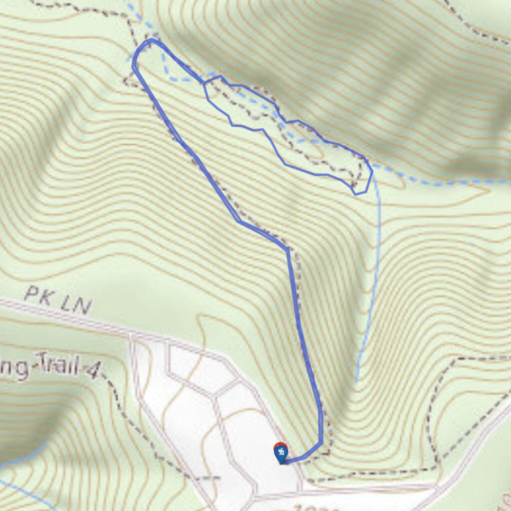
Trail 9, Taylor Ridge
Difficulty
Easy
Hiking Time
2 hours
Total Distance
2.75 miles
The first thing you should know about this 2.75 mile lollipop-style hiking trail is that, unless you are camping at Taylor Ridge Campground, there is no parking at the trailhead.
Most day hikers will instead access this trail via Trail 11, Vollmer Trail, which starts at Ogle Lake.
Discovery Trail

Difficulty
Easy
Hiking Time
30 min
Total Distance
.5 miles
This self-guided interpretive hiking trail begins at the Nature Center and follows 27 educational stations ranging in topics from Christmas ferns to Devil’s walking sticks.
As you walk along this half mile trail, you will see some young trees mixed in with the undergrowth. Note: Don’t use a Devil’s walking stick as an actual walking stick.
Trail 10, Fire Tower
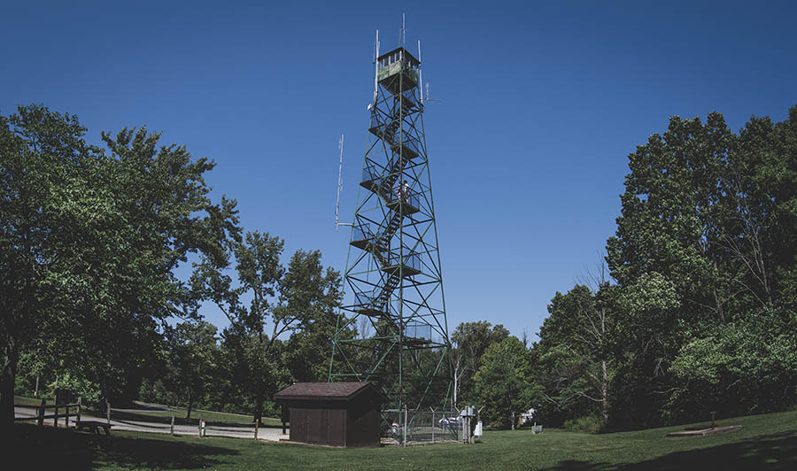
Difficulty
Easy
Hiking Time
1 hour
Total Distance
2.25 miles
Imagine a hike where the coolest feature was at the very beginning of the trail, and everything after that was of decreasing interest.
Welcome to Trail 10, where the fire tower is as good as it gets. That said, the fire tower is super cool, so it’s definitely worth checking out.
Trail 1, Lodge Trail
Difficulty
Easy
Hiking Time
30 min
Total Distance
.9 miles
Hike through land wooded with oak, hickory, sassafras, beech and maple on this easy .9 mile trail in the Abe Martin Lodge hiking trail network.
This short trail ties into Trail 2, however it is not seeing its usual traffic because that section of Trail 2 is currently closed.
Friends Trail
Difficulty
Easy
Hiking Time
15 minutes
Total Distance
.25 miles
This accessible quarter mile loop is the perfect introduction to hiking for the little ones as well as it is a route for hikers of all abilities to enjoy.
Many who pass up this trail may not realize that it also contains one of the best views in the park.
PLEASE HELP US OUT!
If you enjoyed this free article on hikingillustrated.com, please consider
purchasing anything on Amazon via our affiliate link at no extra cost to you.