

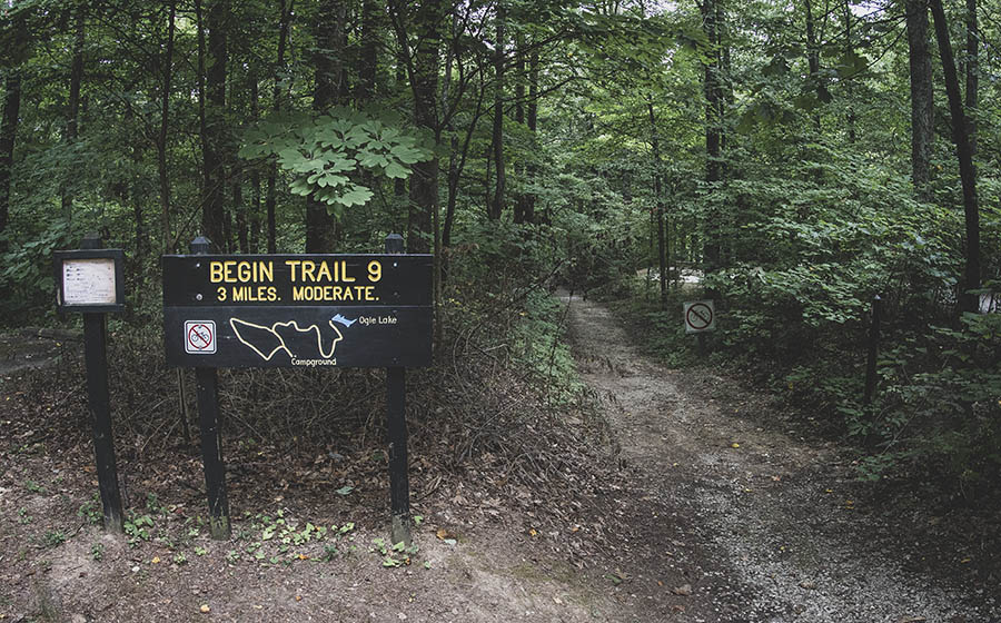
This 2.75 mile lollipop hiking trail begins at Taylor Ridge Campground and follows the hilltop for a mile and a half before descending into Wise Hollow and looping back along a small stream. As there is no parking for non-campers at the trail head, this hike is best accessed via Trail 11 (Vollmer Trail) from Ogle Lake.
RELATED: The Best Hiking Trails in Brown County State Park, with Maps and Rankings
You can use this interactive map at the trail! Here’s how
Download map GPX file
Trail 9 (Taylor Ridge) map GPX file
Directions
Trail 9 (Taylor Ridge) trailhead. From the north entrance, follow the signs on Brown County State Park Rd for 6 miles to Taylor Ridge Campground.
Difficulty
Easy
Hiking Time
2 hours
Total Distance
2.75 miles
Route type
Lollipop
Cost
$7/vehicle (in-state), $9/vehicle (out-of-state)
Dogs
Allowed on 6-foot leash
Sun exposure
Dense tree canopy
Bathrooms
Yes
Flora/fauna
Copperheads, timber rattlers, ticks
Accessible?
No
Kid friendly
Yes
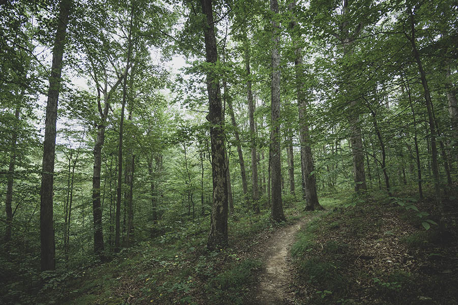
Hiking Trail 9 (Taylor Ridge)
The first thing you should know about Trail 9 is that, unless you are camping at Taylor Ridge Campground, there is no parking at the trailhead. Most day hikers will instead access this trail via Trail 11, Vollmer Trail, which starts at Ogle Lake.
Although that fact might turn away some visitors, there is one particularly interesting reason for making the effort to hike Trail 9: The Ten O’Clock Line Nature Preserve.
From the Department of Natural Resources: “This preserve represents the vast hardwood forests that blanketed Indiana when the first settlers arrived. Within a few decades, the forest was gone. This area was left relatively intact and had not been cleared and eroded by intensive farming. As a result, the species composition remains unaltered. It is an original Hoosier landscape.”
Here you’ll also hear the Woodland Warbler and see the endangered Yellowwood Tree. Other species that call the preserve home include the red bat, red-shouldered hawk, whip-poor-will, broad-winged hawk, bobcat and eastern box turtle. Also, although you will likely never see one, this area is also the habitat of the timber rattlesnake.
So, what’s the Ten O’Clock Line, anyway?
“The preserve is named for the 1809 treaty between General William Henry Harrison and Miami Chief Little Turtle. The treaty, officially the Treaty of Fort Wayne, gave three million acres of land to settlers and formed the northern border of Indiana upon 1816 statehood. According to legend, the line was determined by the shadow cast by a spear at 10 o’clock.”
Use this map on your hike!
Load this web page on your phone while you still have service.
Then, tap the arrow icon on the map to show your current location and follow along.

Tap the layers icon to switch between topo, satellite and other helpful map layers.

To save battery life, put your device in airplane mode. GPS still works even without service!
PLEASE HELP US OUT!
If you enjoyed this free article on hikingillustrated.com, please consider
purchasing anything on Amazon via our affiliate link at no extra cost to you.

