
This accessible quarter mile loop is the perfect introduction to hiking for the little ones as well as it is a route for hikers of all abilities to enjoy. Many who pass up this trail may not realize that it also contains one of the best views in the park.
RELATED: The Best Hiking Trails in Brown County State Park, with Maps and Rankings
You can use this interactive map at the trail! Here’s how
Download map GPX file
Directions
Friends Trail trailhead. From the north entrance, head south on Brown County State Park Rd and follow for 2.1 miles. Continue on Horseman Camp Rd for .8 miles. Veer left at the fork toward the park office and fire tower area and park in the small lot. The trailhead for Friends Trail is just left (west) of the park office.
Difficulty
Easy
Hiking Time
15 minutes
Total Distance
.25 miles
Route type
Loop
Cost
$7/vehicle (in-state), $9/vehicle (out-of-state)
Dogs
Allowed on 6-foot leash
Sun exposure
Dense tree canopy
Bathrooms
Yes
Flora/fauna
Copperheads, timber rattlers, ticks
Accessible?
Yes
Kid friendly
Yes
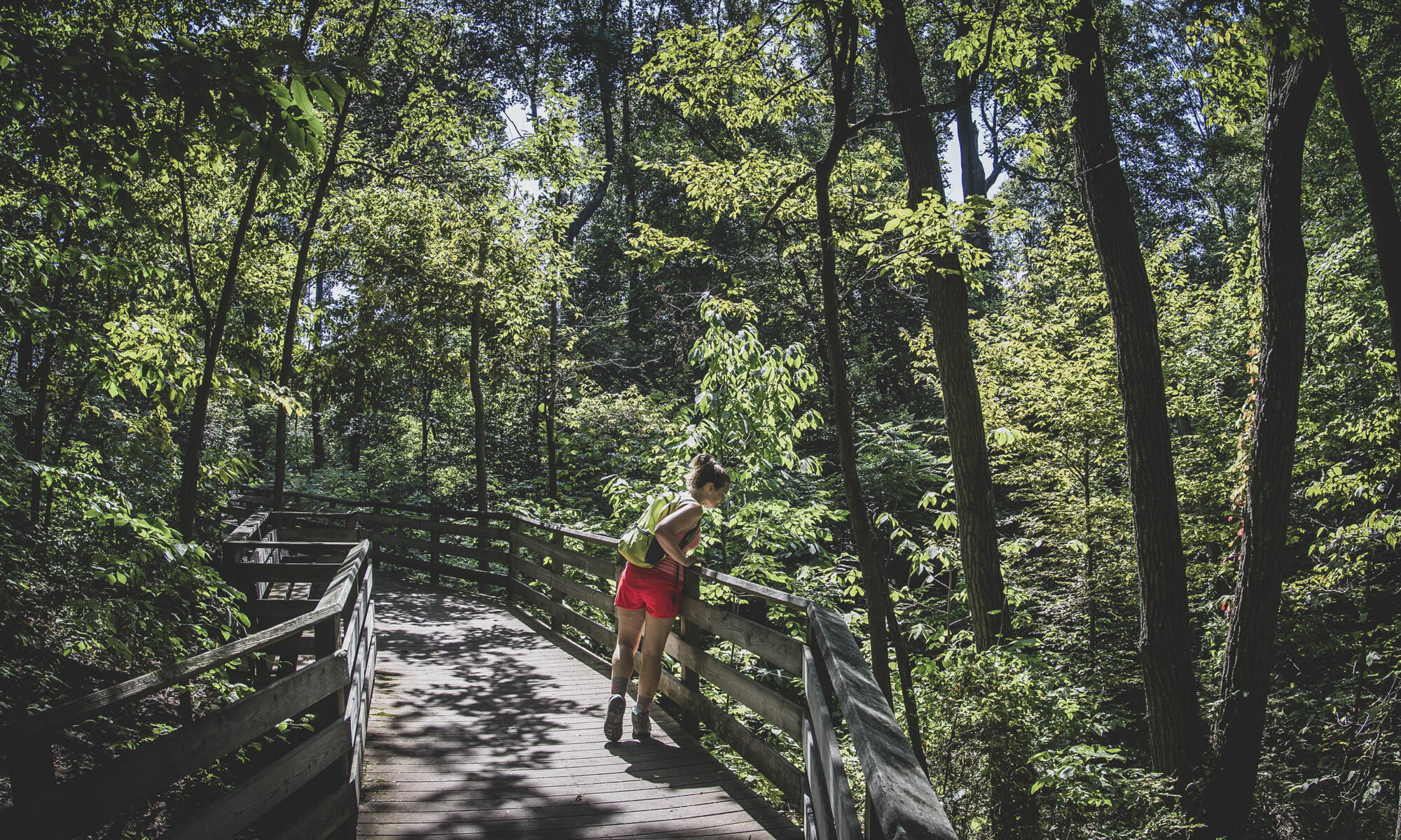
Hiking Friends Trail
There isn’t much to write about this trail that is not self explanatory, but if you’re going to create a complete hiking guide to an area, you include the quarter-mile foot paths.
Dedicated in 2000, Friends Trail is a relaxing little loop that also has a cut-through in the middle if you want to get straight to the gorgeous vista hidden therein without interruption.
Oh, and don’t fret the elevation profile below the interactive map above – the histogram makes this trail look like it has a wild downhill slope in the middle, but it is in fact as flat as can be. No runaway strollers or wheelchairs to worry about here!
For additional fun, be sure to check out the nearby fire tower. You can also take a two mile hike from there on Trail 10, but there are better trails to explore in the park.
Use this map on your hike!
Load this web page on your phone while you still have service.
Then, tap the arrow icon on the map to show your current location and follow along.

Tap the layers icon to switch between topo, satellite and other helpful map layers.

To save battery life, put your device in airplane mode. GPS still works even without service!
PLEASE HELP US OUT!
If you enjoyed this free article on hikingillustrated.com, please consider
purchasing anything on Amazon via our affiliate link at no extra cost to you.

