

Nestled in the hills of Brown County, Indiana, is this lovely forest hiking trail loop at Laura Hare Nature Preserve at Downey Hill, one of nearly 20 protected sites governed by the Sycamore Land Trust.
Located on Valley Branch Road just outside of Gnaw Bone, the preserve offers a rugged ridgeline hike that descends 200 feet into a valley with a lazy babbling brook.
Laura Hare Nature Preserve Interactive Trail Map
You can use this interactive map at the trail! Here’s how
Hiking routes for all ages
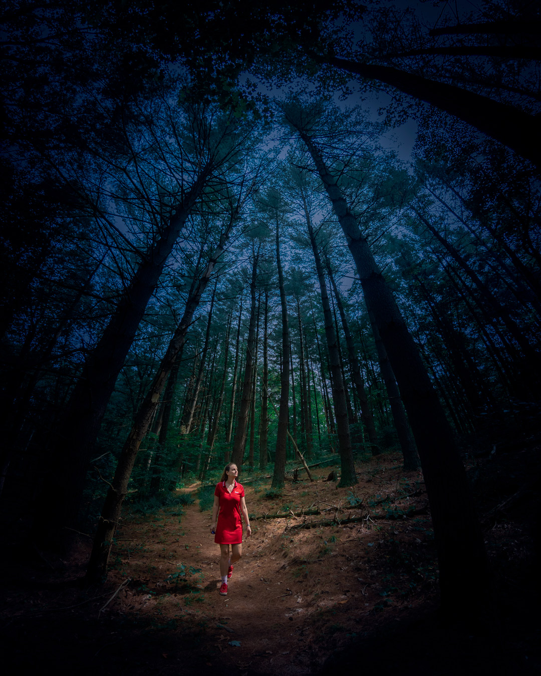
The trail system consists of one large loop that is roughly four and 1/3 miles, but it is easily customized with shortcuts (see waypoints #1, #2 and #3 on the interactive map) to suit all skill levels and age groups.
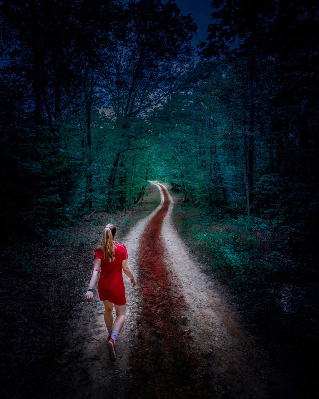
Beginning from the trail head, hikers can opt for a clockwise or counter-clockwise route, or there is an easier gravel road straight ahead that stays relatively flat.
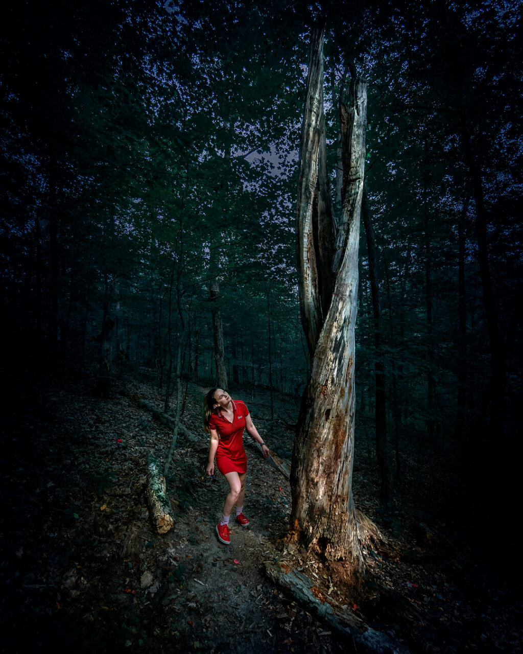
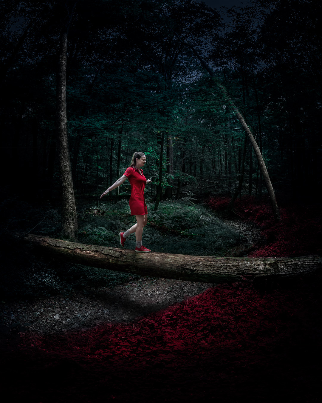

With almost a full square mile of uninterrupted Hoosier forest habitat to explore, the preserve is sure to delight all visitors to Brown County who are looking for something a little different.
Trail notes
Free entry. Open dawn to dusk. Dogs on leashes. Stay on trails. No camping, fires, littering, off-road vehicles, bikes or horses. There is limited parking at the trailhead, but the lot is rarely full.
Spiderwebs are plentiful along the trail in the late summer months, so come hungry and be prepared to eat a few.
What should I bring? Water, bug spray (an absolute must) and hiking poles (or a good walking stick). Because you will be under a forest canopy for most of this hike, you can probably forego the sunblock.
To learn more about the preserve or to donate to help protect forests, visit the Sycamore Land Trust web site.
Use this map on your hike!
Load this web page on your phone while you still have service.
Then, tap the arrow icon on the map to show your current location and follow along.

Tap the layers icon to switch between topo, satellite and other helpful map layers.

To save battery life, put your device in airplane mode. GPS still works even without service!
PLEASE HELP US OUT!
If you enjoyed this free article on hikingillustrated.com, please consider
purchasing anything on Amazon via our affiliate link at no extra cost to you.